
Category: Bukit Timah Local Context
-

How Bukit Timah Became Residential | Railway → Estates → Private Housing → Condominiums → New Public Housing
How Bukit Timah became residential: the 1903 railway, suburban estates, Fuyong, landed private housing, condominiums and the return of major public housing through Turf City.
-
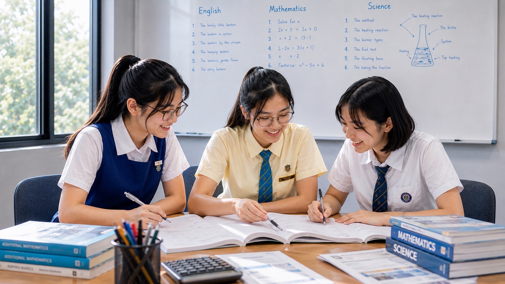
Bukit Timah as a Classroom | Geography → Biology → History → Mathematics → Systems Thinking
How Bukit Timah can be used as a real interdisciplinary classroom for Geography, Biology, History, Mathematics and systems thinking — with evidence, field observation, uncertainty and connected learning.
-
How Bukit Timah’s Green Network Works | Nature Reserve → Dairy Farm → Rail Corridor → Park Connections
How Bukit Timah’s green network works: nature reserve core, Dairy Farm and other buffer parks, the Rail Corridor, Eco-Link@BKE, linear parks, park connections and the Mathematics of ecological connectivity.
-
How Eco-Link@BKE Reconnected Bukit Timah Forest | Fragmentation → Wildlife → Bridge → Connectivity
How Eco-Link@BKE reconnected Bukit Timah and Central Catchment forests after BKE fragmentation: wildlife movement, monitoring, native vegetation, ecological connectivity and what the evidence actually shows.
-
Bukit Timah’s Racecourse Story | Horses → Recreation → Turf Club → Turf City → Future
Bukit Timah’s racecourse story from the 1933 opening through war, post-war racing, public spectacle, the 1999 move to Kranji, Turf City reuse and the site’s heritage-led future.
-
How Bukit Timah Turf City Is Being Remade | Racecourse → Heritage → Housing → CRL → Green Design
How Bukit Timah Turf City is being remade from a former racecourse into a new housing estate shaped by heritage conservation, the Cross Island Line, car-lite planning, biodiversity and green design.
-
How Beauty World Is Changing | Community Club → Market → Sports → Eldercare → MRT
How Beauty World is changing: Bukit Timah Community Club, redeveloped market and hawker centre, indoor sports hall, eldercare, Beauty World MRT and the wider integrated transport-hub precinct.
-
How King Albert Park Is Becoming an Interchange | Downtown Line → Cross Island Line → Network Geometry
How King Albert Park is becoming a DTL–CRL interchange: Cross Island Line Phase 2, Turf City, transfers, graph theory, network centrality, family travel time and the changing geometry of Bukit Timah.
-
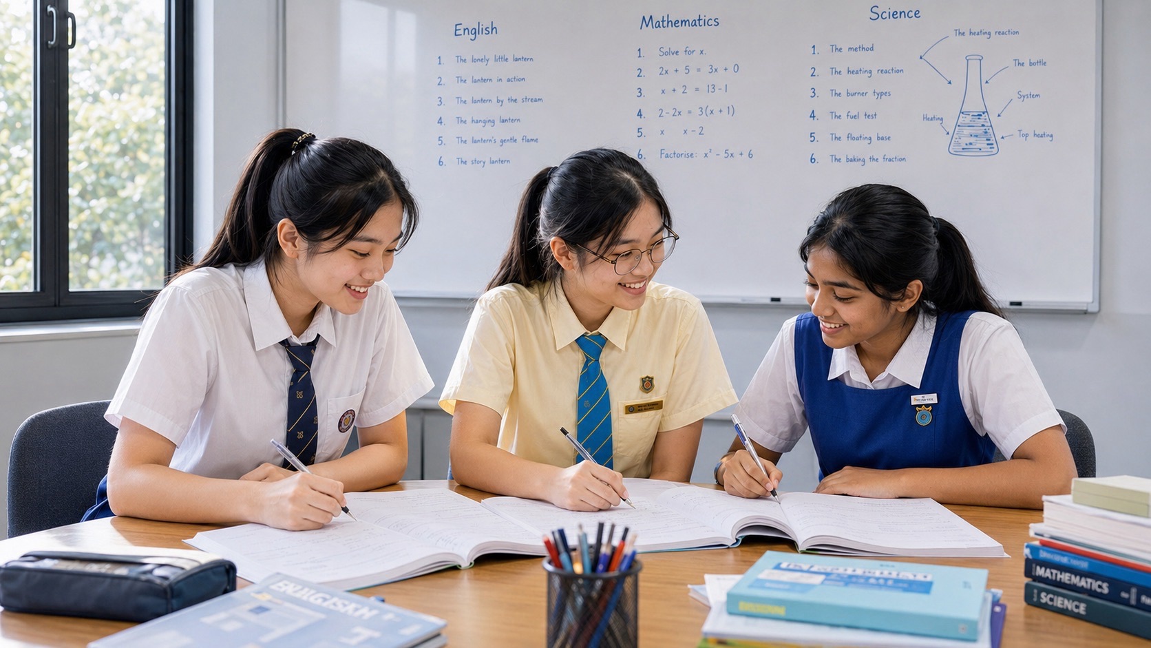
The Schools of Bukit Timah | History → Institutions → Mobility → Learning Culture → Pressure
The schools of Bukit Timah as a connected system: institutional history, student mobility, Downtown Line access, family geography, learning culture and the pressure that can come with visible achievement.